Homeland Defense Over-the-Horizon Radar
at Northwest Region United States
Environmental Impact Statement

Overview OF proposed action
Proposed Action Alternative
The Proposed Action includes acquisition of land, construction, and operation of two Homeland Defense Over-the-Horizon Radar (HLD OTHR) systems in the Northwest region of the United States.
The Department of the Air Force (DAF) proposes to acquire land currently owned and managed by the Oregon Military Department (OMD), and withdraw land managed by the Bureau of Land Management (BLM) for siting and construction of these facilities. A total of 2,622 acres would be acquired from OMD, and 4,987 acres of federal land would be withdrawn from BLM management. The DAF is the lead agency for the EIS, and the BLM and OMD are cooperating agencies for the EIS.
The proposed location to manage the proposed HLD OTHR systems is Mountain Home Air Force Base.
Each proposed HLD OTHR system would consist of one transmitter array and one receiver array, the supporting infrastructure for each array, and associated communications cabling and communications maintenance buildings. The figures below provides a graphical depiction of these systems at the two proposed sites.
The DAF will consider the potential impacts the Proposed Action may have on the environment.
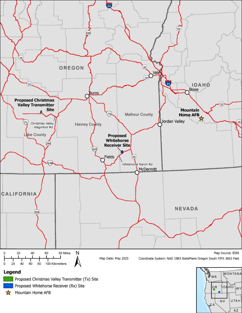
Figure 1 – Homeland Defense Over-the-Horizon Radar Project Vicinity Map
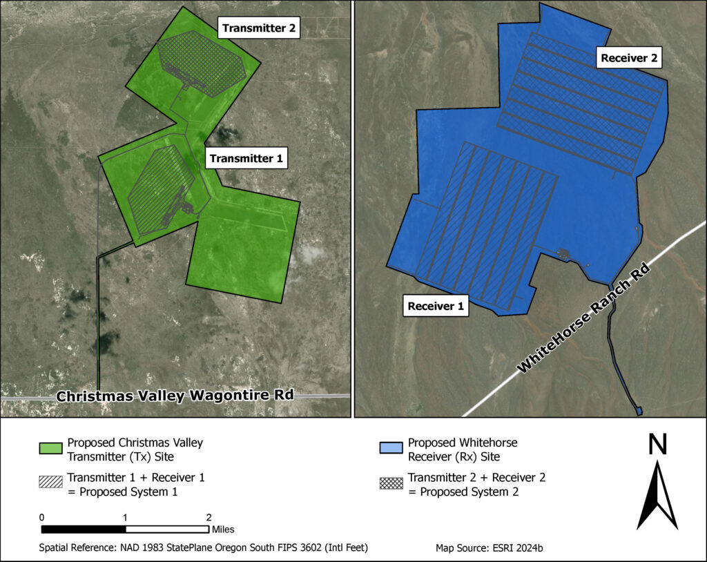
Figure 2 – Homeland Defense Over-the-Horizon Radar Systems 1 and 2
No Action Alternative
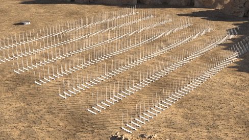
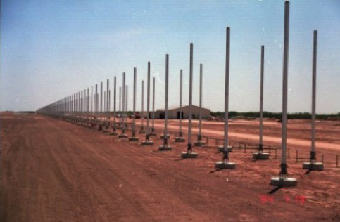
Photographs of similar Transmitter Sites
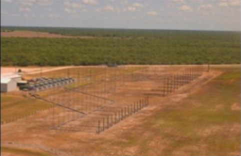
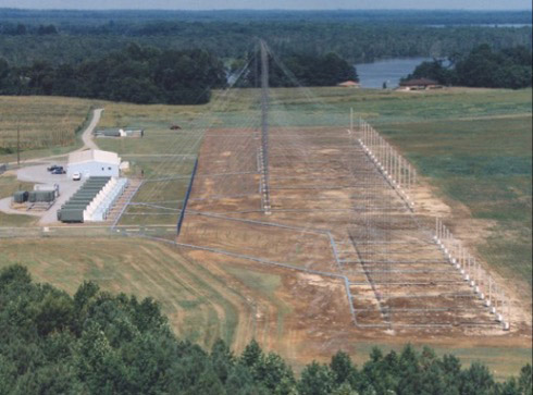
Photographs of similar Receiver Sites
